
Ruth Fire updated- evacuation order lifted
According to information from "InciWeb", the Inter-agency system that tracks fire-related incidents, as of 9/26/11 at 9 am:
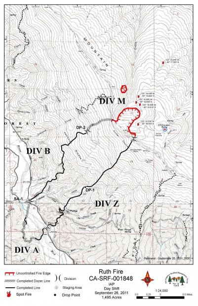
Current incident information indicates that the Ruth Fire, burning on the Six Rivers and Shasta-Trinity National Forests near the community of Ruth, is currently estimated at 1,515 acres and is burning at a low to minimal rate of spread due to the recent measurable rain. The fire has spread over South Fork Mountain ridgeline and is being suppressed by firefighters. Crews have been working to remove any public safety hazards such as fire weakened trees while continuing to mop up and protect the structures and private property within the community of Ruth. Full perimeter contour efforts are progressing safely and successfully.
Additional information indicates:
- Total Personnel 883
- Percent Contained – 65%
- Estimated Containment Date – Wednesday September 28th, 2011 approx. 12:00 AM
- Closures/Road Delays: The evacuation order for the community of Ruth was lifted today, Monday, September 26 as of 9:00 a.m.
- Power has been restored and mail delivery will resume in the area. The Red Cross Shelter has closed.
Although the evacuation order has been lifted; fire officials are strongly urging residents to exercise extreme caution as they return to their homes or property. There are still hazards out there such as fire weakened trees, and hot spots with the potential to cause serious burns or injuries. Residents are also being asked to please drive slow and use extreme caution as there will still be fire crews and fire equipment working in the area. There is still an emergency forest closure in effect for the South Fork Mountain area near the fire.
Fire Information is available by calling (916) 718-8648 or emailing [email protected].
The map below shows the location of the fire:
